SERVICE
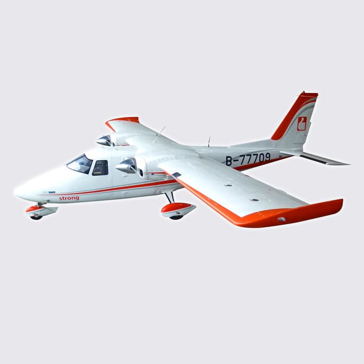
Capable of long-duration hovering and continuous flight operations without interruption.
Powered by only two motors and designed with aerostatic lift for energy efficiency, it achieves an impressive maximum flight time of up to 50 minutes.
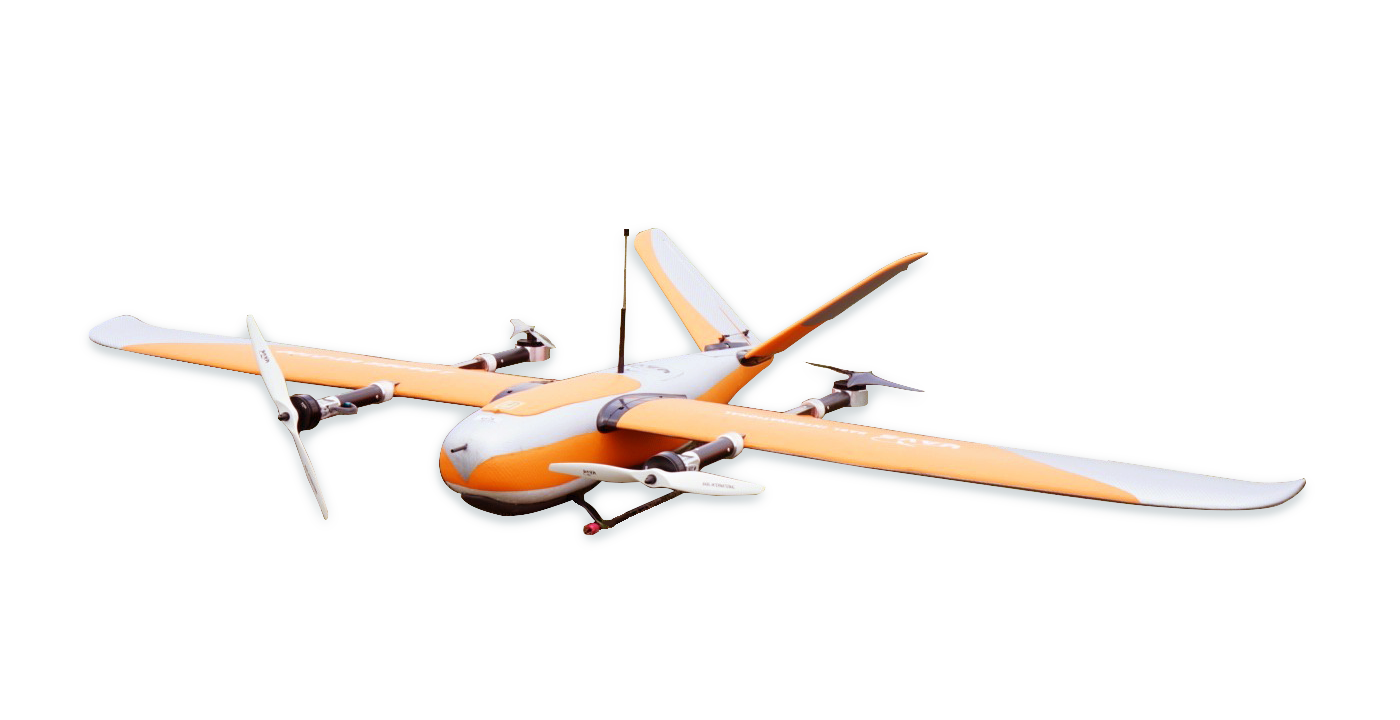
With just one click, takeoff, flight, and landing can be completed effortlessly.
The aircraft requires no runway preparation, allowing missions to begin and end anywhere—saving valuable time and greatly improving operational efficiency.
Exceptional Safety
The system’s high safety standards effectively reduce operational risks. Once the flight path is set, a single click initiates the full takeoff, flight, and landing sequence automatically—making every mission simple and reliable.
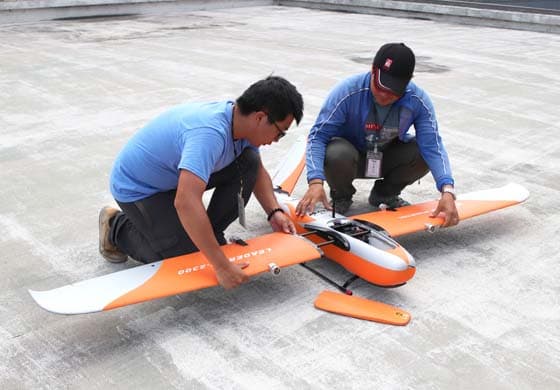

Easy Maintenance
Maintenance is minimal and straightforward. By following the maintenance manual and performing regular inspections and part replacements, the aircraft can remain in optimal condition with ease.
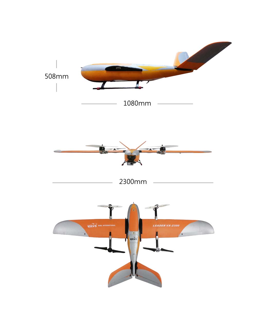
- Length:1080 mm
- Wingspan:2300 mm
- Height:508 mm
- Wing Area:58 dm² (5800 cm²)
- Airframe Weight: 3.8 kg (excluding battery)
- Maximum Payload: 1.5 kg
- Cruising Speed: 16 m/s (57.6 km/h)
- Maximum Safe Speed: 35 m/s (126 km/h)
- Maximum Takeoff Weight: 7 kg
- Maximum Flight Altitude: 4,000 m
- Flight Range: 40 km
- Hover Time: 50 minutes
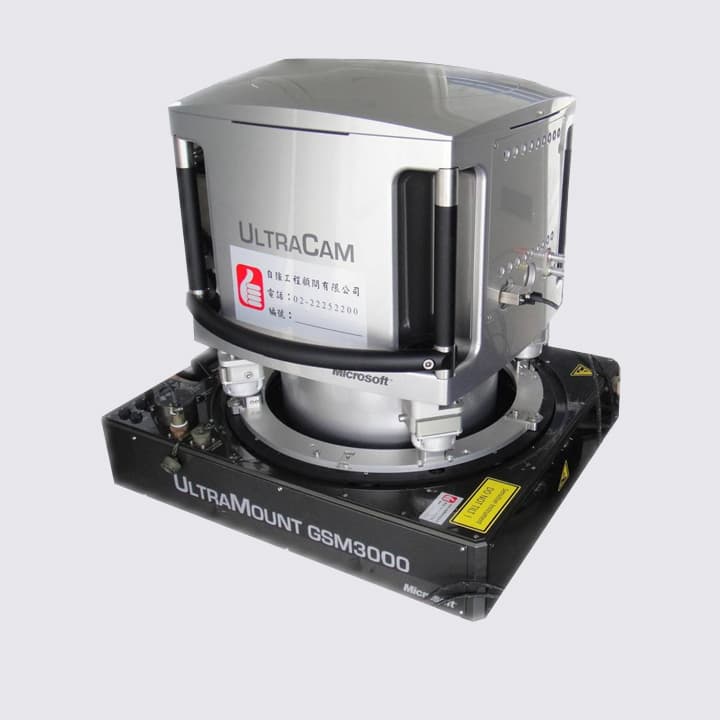
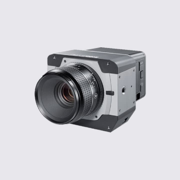
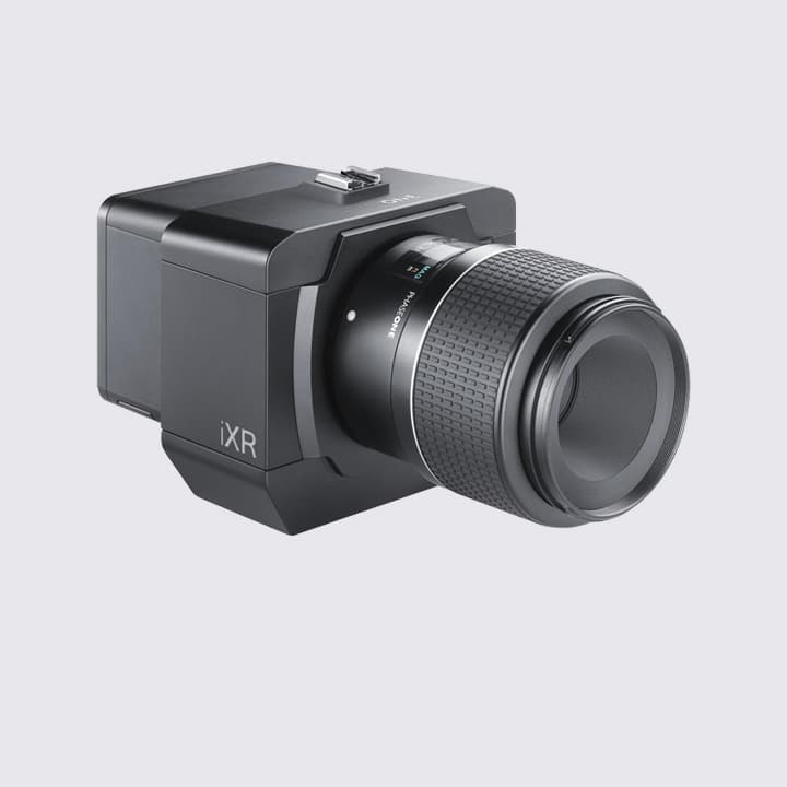
AERIAL SURVEY
AERIAL SURVEY
With continuous advancements in aerial surveying technology, modern digital cameras can now clearly capture fine ground details such as manholes and drain covers. Their high-resolution imaging capabilities significantly enhance the value and accuracy of survey data.
Aerial surveying enables the rapid acquisition of high-resolution imagery and high-precision, high-density DEM data within a short time frame, minimizing environmental and temporal inconsistencies. It is widely applied in terrain change detection, topographic mapping, flood modeling, and disaster prevention. The resulting high-precision datasets deliver exceptional performance when applied to 3D Geographic Information Systems (GIS).
DSM / DEM Production
Over 10,000 Feet Above the Ground
Revealing the vast mountain ranges that intertwine across the landscape.Above the clouds, we witness the grandeur of the earth.From the skies, we trace the connected ridges and winding valleys.From above, we capture every rocky contour and geological formation.There, in the silence—far from the bustle—birds glide through the open air.Suspended in the heavens, we observe, we measure, we map.
High-Altitude Data Analysis
Our professional surveying team provides reliable aerial data and analysis, helping you understand the terrain you want to study and interpret the information you need.
True 3D Landscape Models
Realistically recreating the world above the clouds.
Through our next-generation dual oblique camera systems, we construct 3D model environments from multiple perspectives—not just videos, but fully detailed spatial visualizations—allowing you to see the complete and authentic world we capture through our surveys.
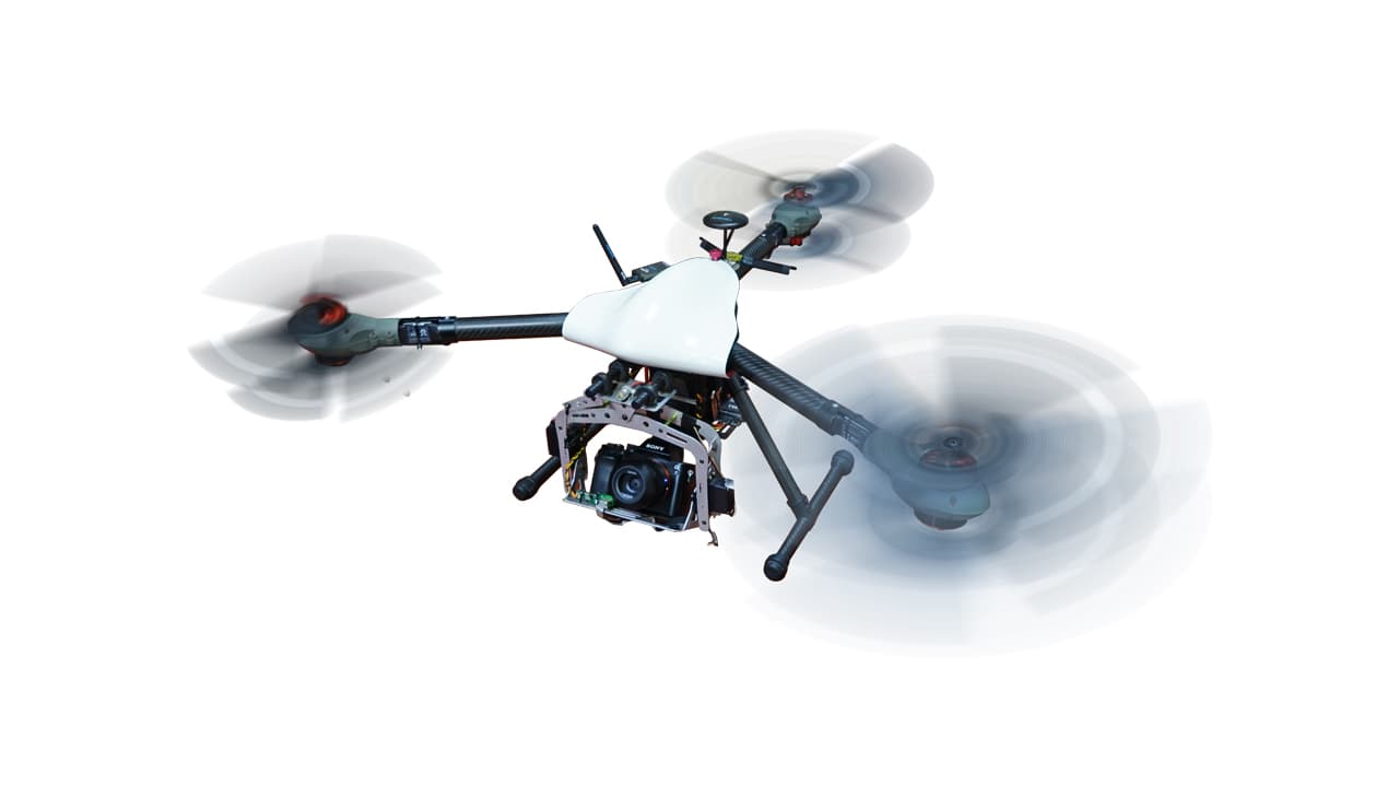
UAV AERVICE FILMING
AERIAL DRONE PHOTOGRAMMETRY
In recent years, the rapid evolution of drone technology and the widespread availability of advanced equipment have greatly expanded the possibilities and flexibility of aerial photography. Capturing the world from above offers photographers a brand-new creative perspective and provides viewers with an entirely new way to experience the beauty of our planet through the eyes of a bird.
MODELS FROM REALITYCAPTURE
PHOTOGRAMMETRY
Photogrammetry is a technology that generates accurate 3D models by capturing images of an object from multiple angles and processing them through computer algorithms. From small-scale items such as matchboxes or model cars to large-scale structures and even entire cities, photogrammetry enables detailed 3D reconstruction. It is widely used in surveying, topographic analysis, and the digital preservation of cultural heritage.
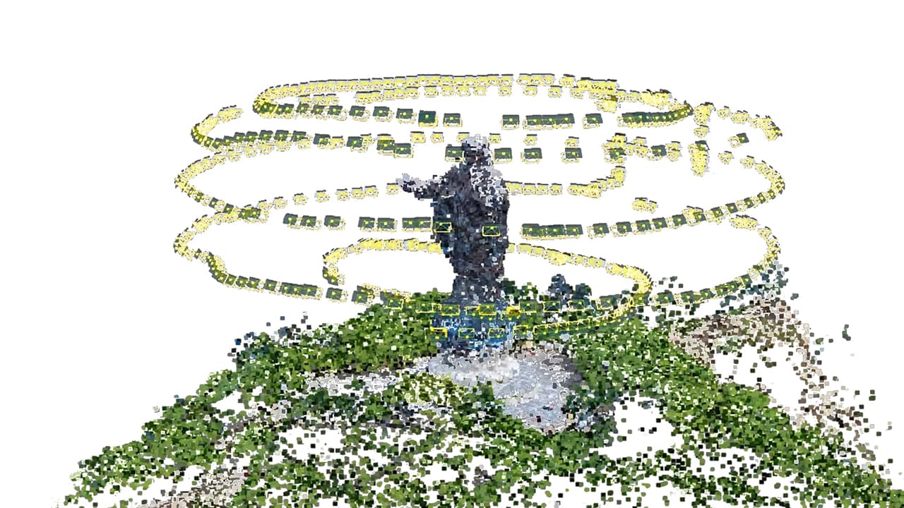
3D Modeling of Unique Landscapes
Using photogrammetry, we create highly realistic 3D models that faithfully replicate real-world landscapes. As shown in the example behind, the 3D model of the Jesus Statue in Hera District, Dili City, Timor-Leste—the largest statue of Jesus in Asia—was accurately reconstructed in both shape and texture, offering a remarkable comparison to the real scene.


Real-world Scene
Captured 3D Model
Aerial View of 3D Model
Sacred Tree 3D Modeling
In collaboration with “Find the Trees – Taiwan Champion Trees”, we utilized cutting-edge measurement technologies to create a precisely captured 3D model of the Sacred Camphor Tree in Shenmu Village, Xinyi Township, Nantou County, which stands 46.4 meters tall and is recognized as the tallest camphor tree in the world.


Real-world Scene
Aerial View of 3D Model
Complete 3D Model Overview
Large-Scale Urban 3D Modeling
By employing professional aerial survey aircraft and UAV systems, we collect comprehensive spatial data and process it through extensive computational modeling and manual post-editing to produce realistic 3D models of entire urban areas. These models serve as valuable resources for government and research organizations, supporting urban planning, sustainable development, and efficient city management.


Real-world Scene
Aerial View of 3D Model
Complete 3D Model Overview
3D/2D GIS
3D Geographic Information System
For many years, we have been dedicated to assisting government agencies in building 2D GIS and 3D GIS systems. In addition to integrating official open data as base maps, we also help organizations consolidate and visualize their business-related datasets. Through data collection, organization, and professional GIS presentation, we transform raw information into valuable geographic insights tailored to each agency’s needs.
In terms of technical development, our 2D GIS platforms are built using government-provided APIs such as TGOS MAP API and the National Land Surveying and Mapping Center’s Map Data Cloud API. For 3D GIS, we utilize Skyline, the world’s most advanced and fluid 3D GIS technology. Responding to the growing demand for mobile accessibility, we have also expanded into cross-platform 3D GIS development, continually enhancing our systems to deliver comprehensive, innovative, and high-performance solutions. Through the passion of our skilled development team and alignment with smart land management policies, we are committed to creating high-quality, next-generation GIS platforms.


Yushan National Park Integrated Map Platform
Kaohsiung Port Real-Time Air Quality Display Platform
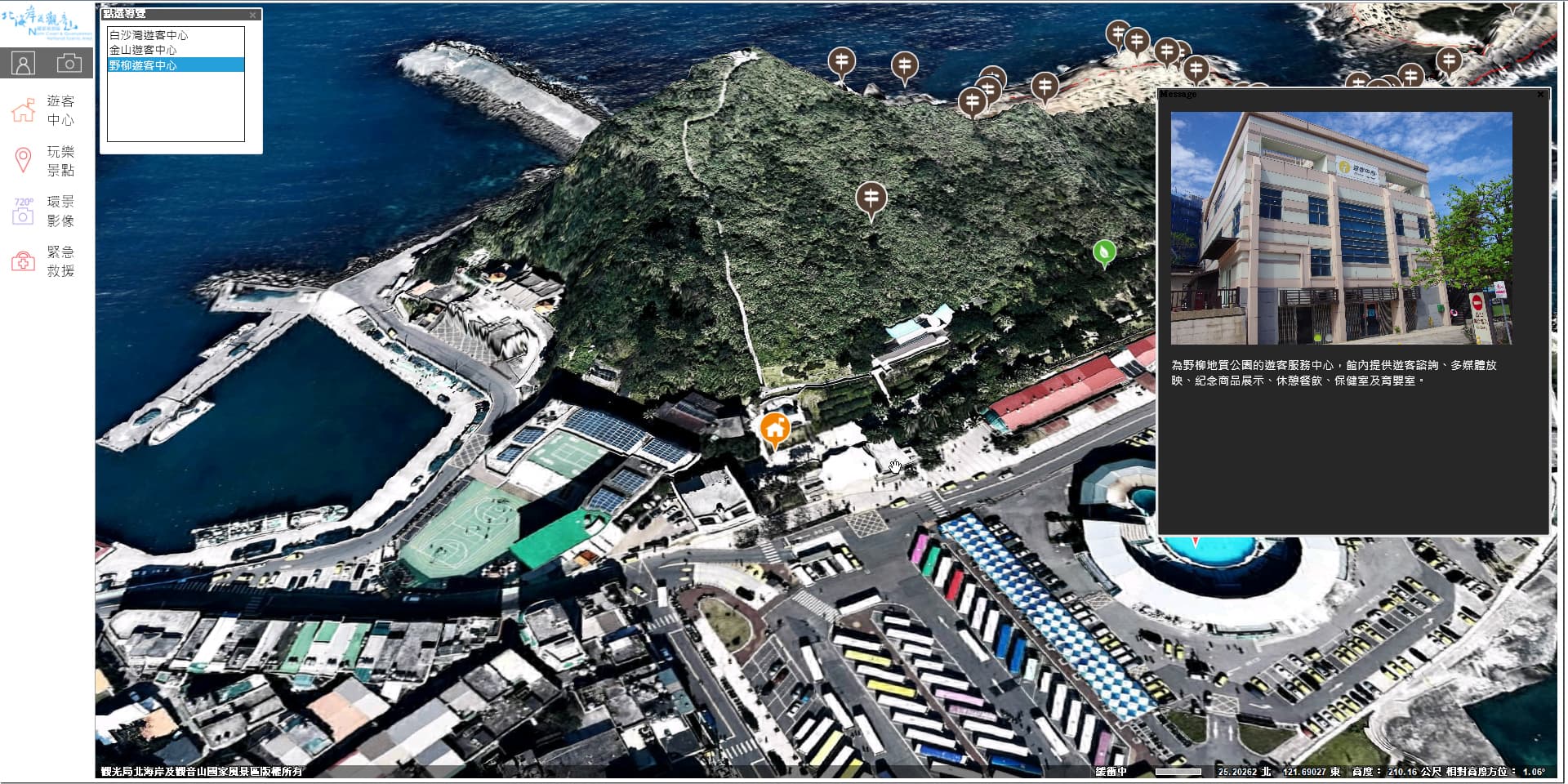
North Coast 3D Virtual Tour System


Alishan Interactive 3D Navigation Platform
National Highway Facility Management and Service System
Digital Highway Service Platform
LASER SCANNING
LiDAR
(Light Detection And Ranging)
Laser scanning is a breakthrough method that replaces traditional surveying with laser-based remote sensing. Using a high-speed laser rangefinder and internal scanning prism, the system accurately captures three-dimensional coordinates of every scanned point, enabling precise terrain modeling and earthwork volume analysis.
Terrestrial LiDAR (ground-based laser scanning) operates on the same principles as a total station, capable of collecting tens of thousands of measurement points per second. This not only achieves precision equal to traditional methods but also greatly enhances efficiency, producing high-resolution data suitable for digital archiving.


Ancient Tree Surveys
Ground-based LiDAR is used to capture complete point cloud data of giant trees, allowing detailed analysis of diameter, circumference, crown projection area, and cross-sections. These datasets assist environmental authorities in research, conservation, and sustainable management of nature reserves.


Height Measurement
Cross-sectional Diameter
Diameter Survey
- River and coastal change monitoring
- Intertidal zone surveys
- Topographic mapping
- Environmental and landscape surveys
- Large-scale cross-section surveys
- Landslide mapping
- Bridge monitoring
- Wharf and port monitoring
- Tunnel monitoring
- Dam safety evaluations
- Building and heritage site documentation and preservation
MOBILE MAPPING SYSTEM
Mobile Mapping Services
Mobile Mapping Services
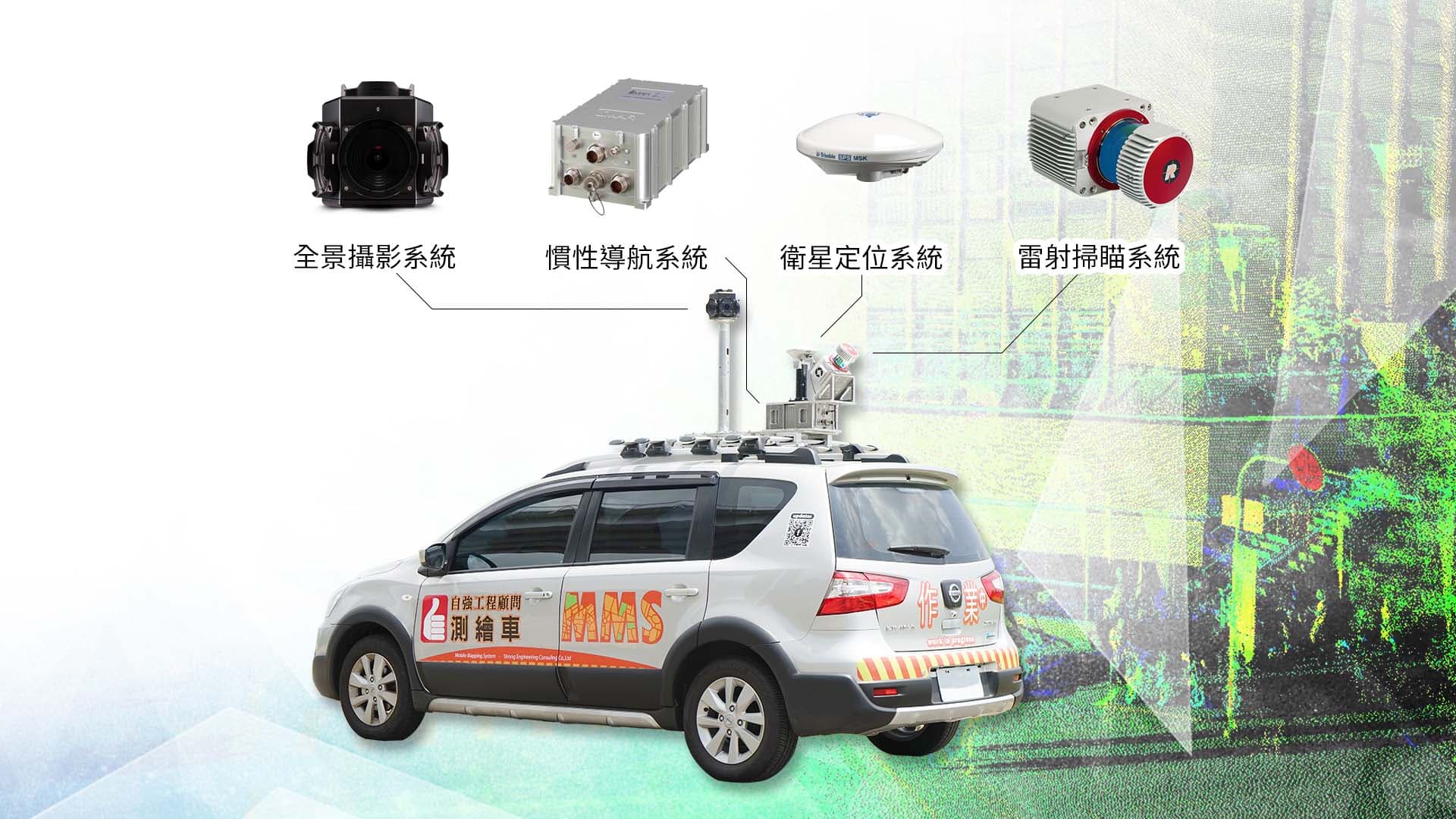
Vehicle-Mounted System
The Mobile LiDAR System (MLS) is the first domestically developed, fully integrated long-range mobile laser scanning system designed for multiple applications — vehicle-mounted, vessel-mounted, and airborne. Equipped with high-speed laser scanners, panoramic imaging systems, and navigation-grade inertial navigation components, the MLS provides high-precision positioning and orientation performance, improving post-processing trajectory accuracy. It also maintains stability in challenging environments such as tunnels and high-speed dynamic conditions by effectively resisting satellite signal loss and environmental obstruction.


Rapid mobile mapping
Integration with ground-penetrating radar
Vessel-based laser scanning


- 1.Panoramic imagery – Captured at specified intervals (e.g., every 2 meters).
- 2.LiDAR point cloud – Collected at specified densities (e.g., 1,000 points per square meter within road boundaries).
- 3.Positioning and orientation system results – Provides coordinate trajectories and attitude data (with optional integration of other sensors for precise timestamping), as well as additional information such as instantaneous acceleration, angular velocity, and sensor rotation angles.
- 1.Topographic mapping – Based on map scale and coverage area.
- 2.Roadway surveys – Based on route length, item type, and attribute detail.
- 3.High-Definition Map (HD Map) production – Based on route length, conforming to international NDS standards.
- 4.3D platform integration and development – Evaluated according to project scope and functional requirements.
- 5.Other applications – Evaluated based on specific project targets.
- Daily rate (without operator),Hourly rate (with operator included)
- 1.Procurement and deployment consultation for MMS systems – Assistance in evaluating and establishing MMS systems comparable to our existing hardware and software setup. Estimated cost: NT$20 million, with an annual maintenance fee of approximately NT$1.5 million.
- 2.Support for MMS data acquisition and processing – If non-proprietary equipment is used, the system must be compatible with our current workflow software; pricing subject to project evaluation.
LAND MEASURING
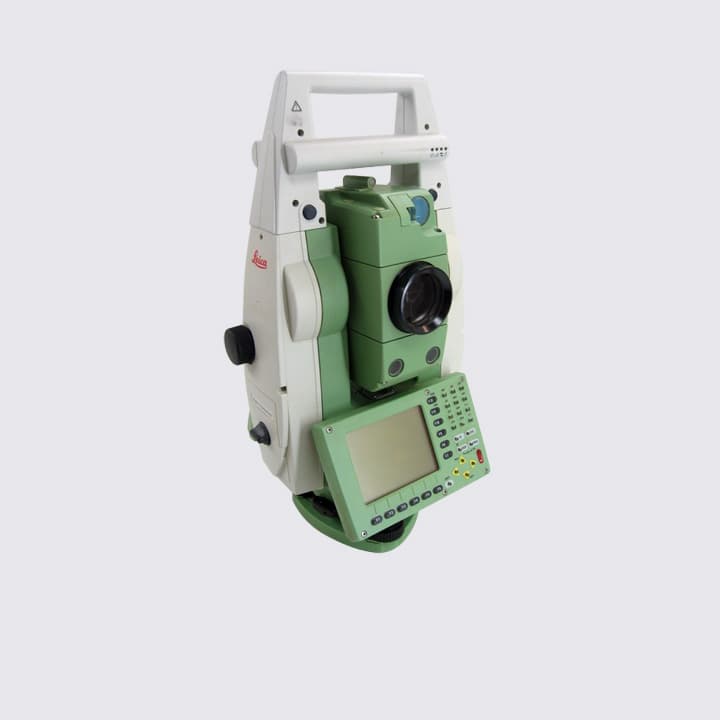
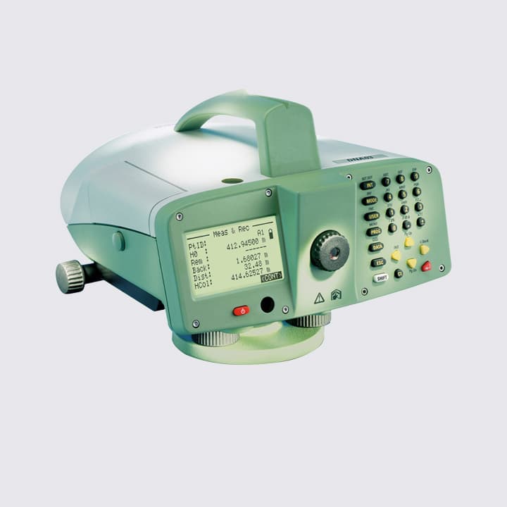
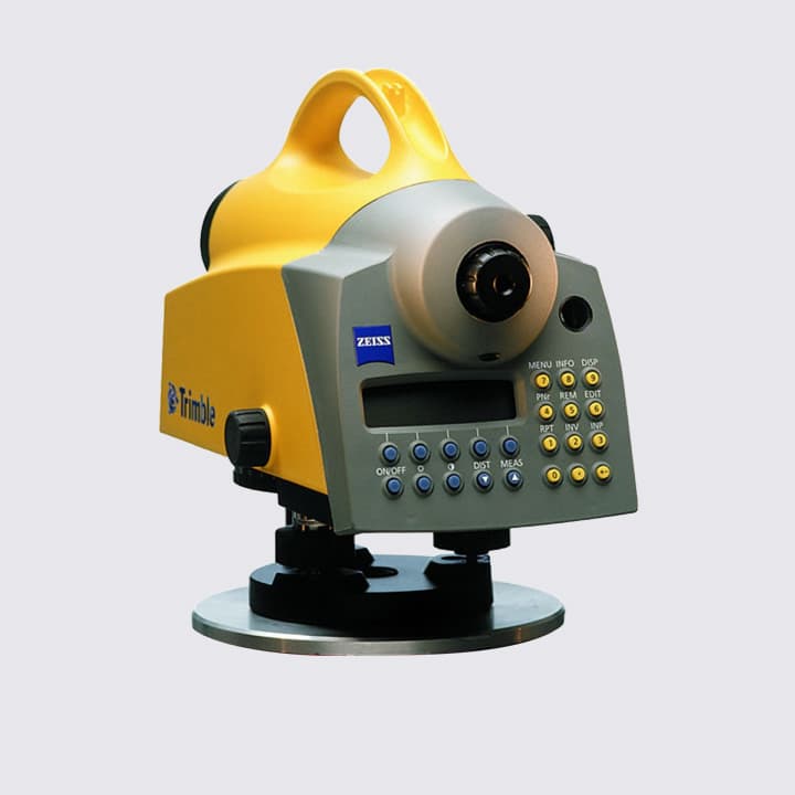
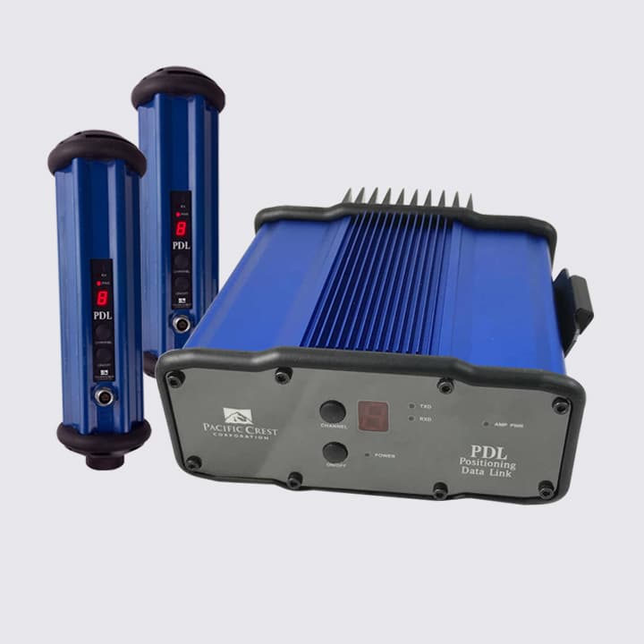
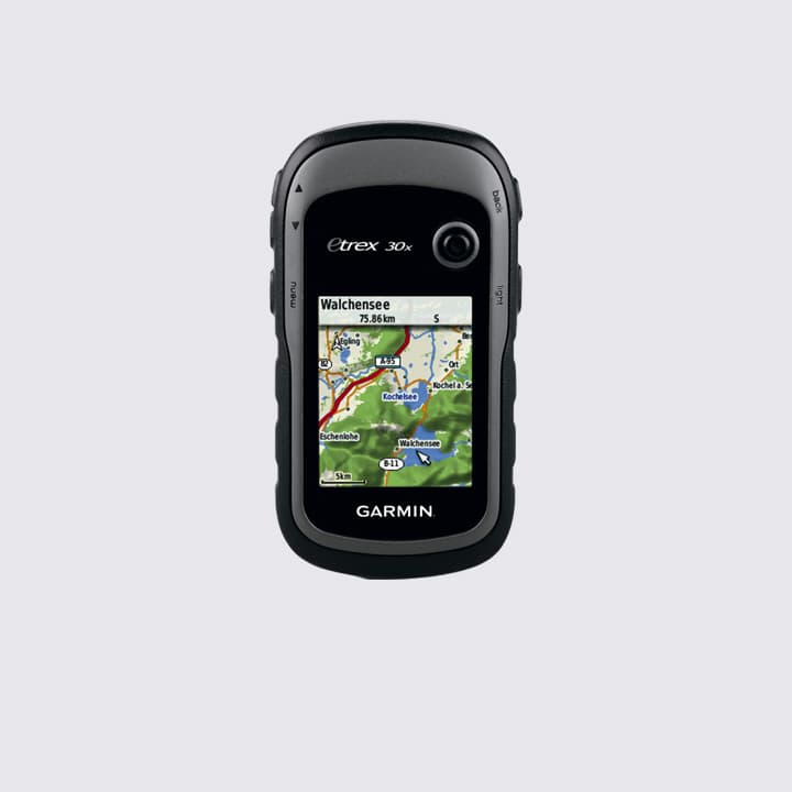
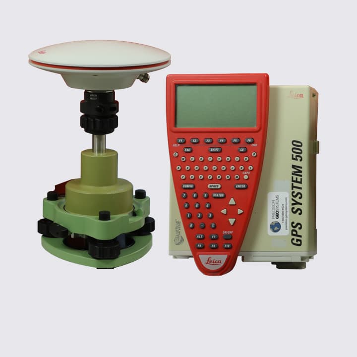
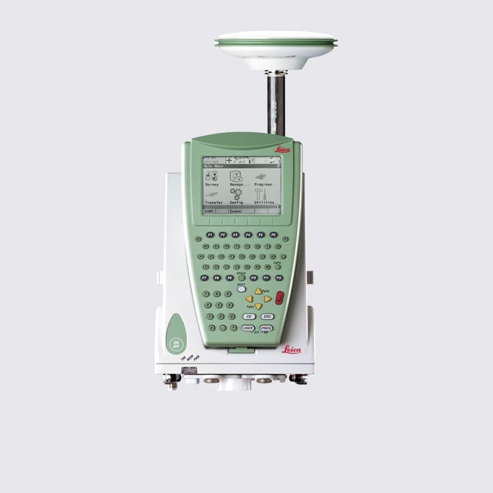
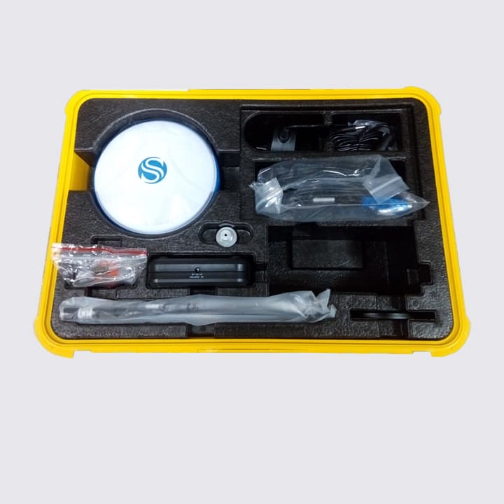
TRADITIONAL MEASUREMENT
TRADITIONAL MEASUREMENT
Over the years, surveying technology has evolved to encompass many advanced methods such as LiDAR and aerial photogrammetry. However, despite the continuous advancement of modern technology, traditional surveying methods still hold an irreplaceable and essential role in the field of surveying.
Fully Self-Owned Instruments — “To do a good job, one must first sharpen their tools.”

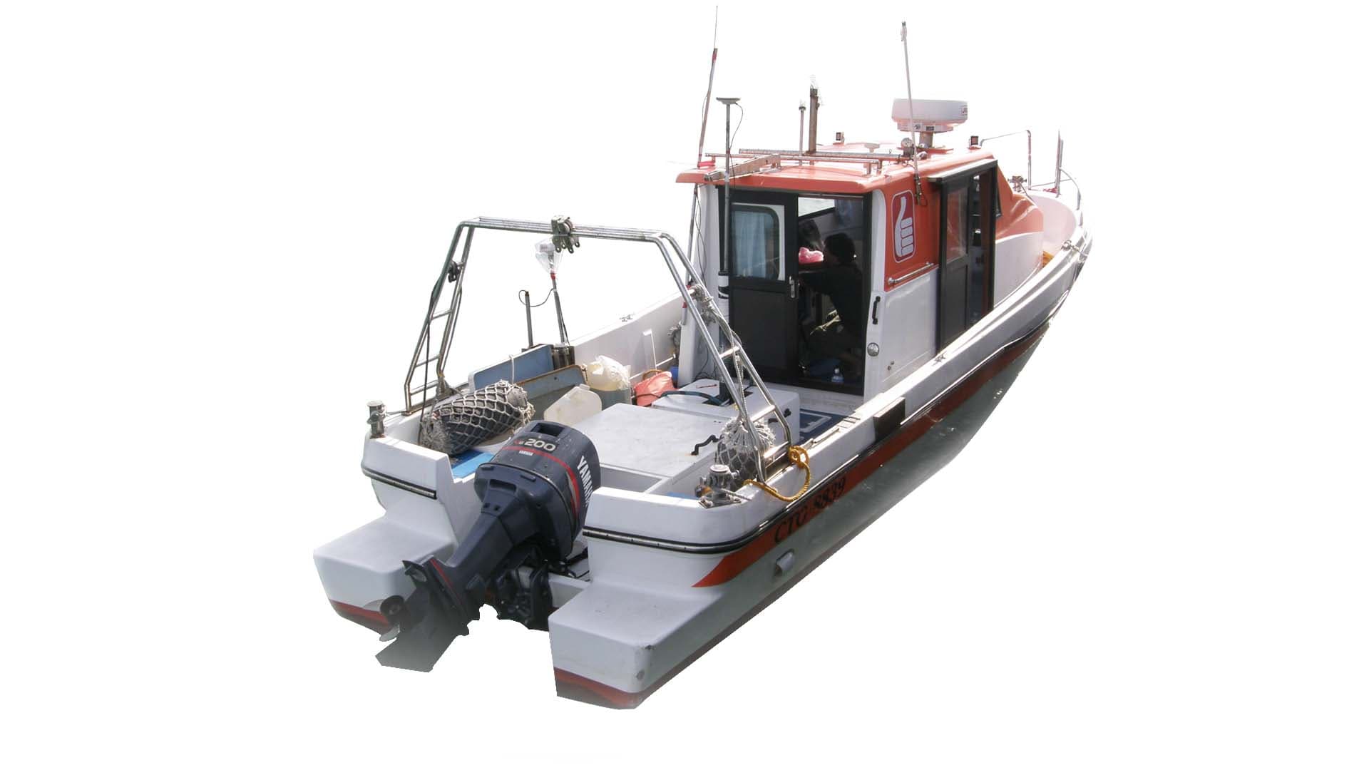
UNDERWATER ACOUSTIC MEASUREMENT
Underwater Surveying Technology Applications
Underwater surveying technology provides the most accurate representation of subaquatic topography and elevation. This includes both Single Beam Echo Sounder (SBES) and Multi-Beam Echo Sounder (MBES) systems, which can be deployed in seas, rivers, harbors, coastlines, reservoirs, and ponds to determine underwater depths and generate comprehensive bathymetric maps.


Single Beam Echo Sounder
Sound Velocity Correction Plate


Multi-Beam Echo Sounder
Multi-Beam Echo Sounder
Vessel Motion Sensor
Heave Compensation Unit
UNDERWATER CULTURAL HERITAGE SURVEY
Underwater Cultural Heritage Exploration
Underwater Cultural Heritage Exploration
Underwater cultural heritage exploration aims to identify and analyze submerged cultural assets using advanced technologies such as Side-Scan Sonar (SSS), High-Density Bathymetric Survey (Multi-Beam Echo Sounder, MBES), Sub-Bottom Profiler (SBP), Magnetic Survey (MAG), and Underwater Photography and Videography. These methods help determine the location, appearance, and condition of underwater artifacts, forming the foundation for heritage preservation, protection, and responsible marine development.


Multi-Beam Echo Sounder System
Wu-De Shipwreck Reef
Lai-Yang Shipwreck Reef
As one of the most efficient methods for obtaining large-area seabed morphology, side-scan sonar can also generate 3D composite imagery, clearly displaying the shapes and features of underwater targets.
Applications: Detection of underwater objects, seabed topography mapping, and planning for submarine cable or pipeline installations.


Side-Scan Sonar Unit
Side-Scan Sonar – Shipwreck
Side-Scan Sonar – Structures
Data collected from magnetic surveys are corrected and processed to produce magnetic contour maps, pinpointing anomalous magnetic zones that may indicate buried artifacts or structures.


Magnetometer
Magnetic Field Contour Map
Integration with Topographic Maps


Sub-Bottom Profiler
Sub-Bottom Profile Image
Sub-Bottom Profile Image